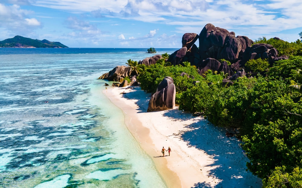

Anse Intendance, located in the southern part of Mahé Island in the Republic of Seychelles, is a hidden paradise highly praised by travelers from around the world. This beach is truly a 'picture-perfect tropical paradise,' where unspoiled natural beauty and tranquility blend together. Here, we will introduce the many charms of Anse Intendance in detail.
1. Natural Beauty and Unique Scenery
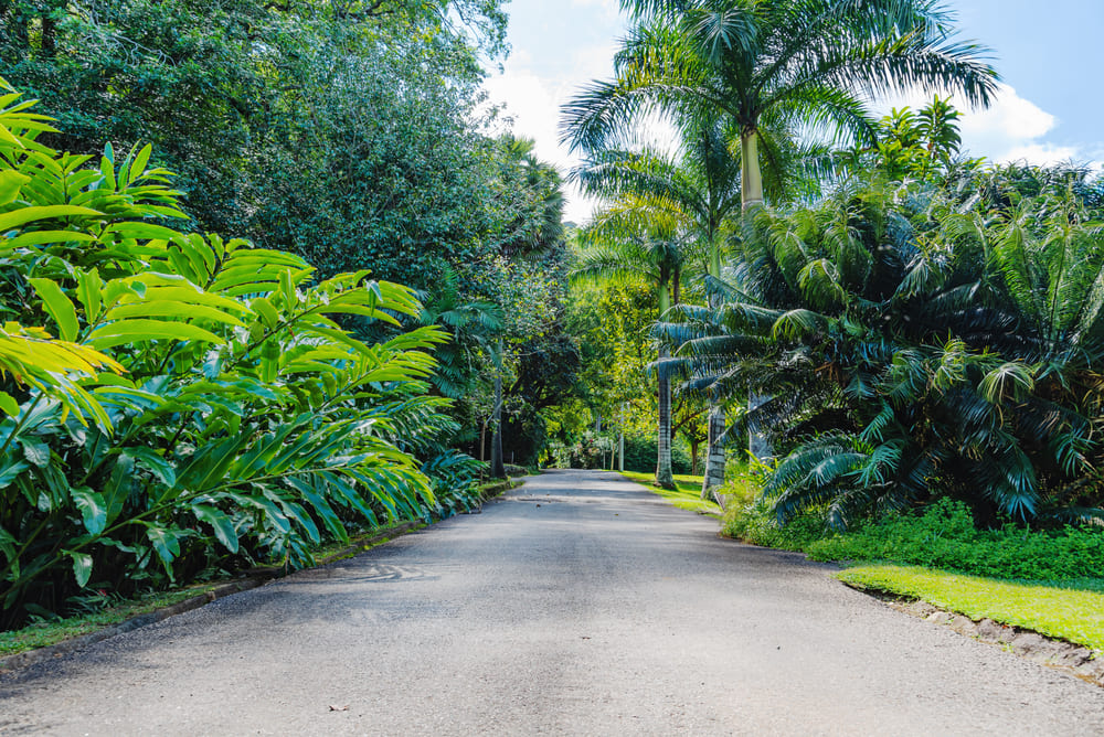
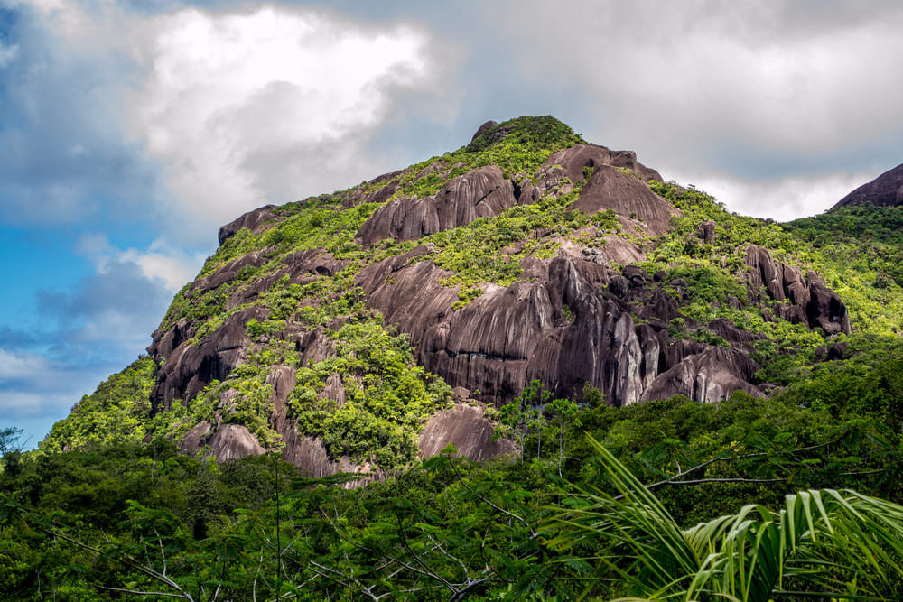
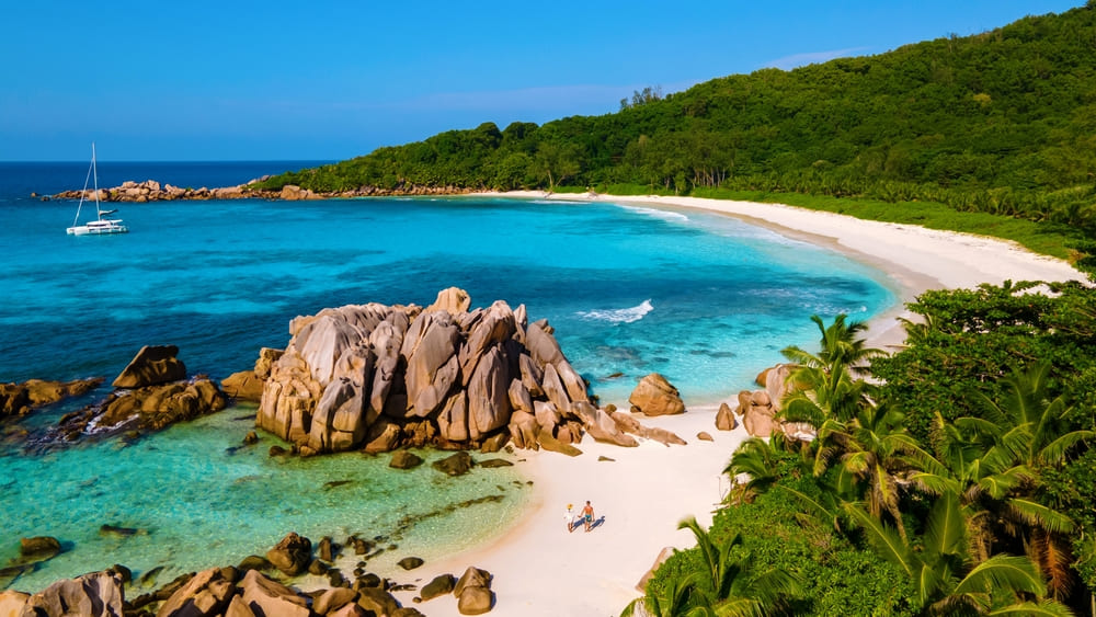
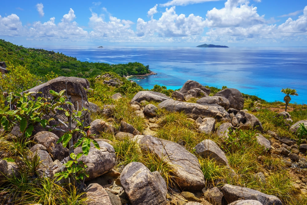
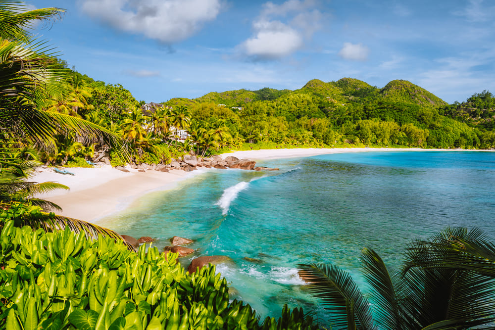
Anse Intendance is a crescent-shaped coastline stretching about 800 meters, featuring pure white powder sand and emerald-green waters. Massive granite boulders, characteristic of Seychelles, are scattered along the shore, with lush tropical rainforest spreading out behind them. Because development has been kept to a minimum, the pristine natural landscape remains untouched by man-made structures, leaving a deep impression on all who visit.
Compared to other famous beaches in Seychelles, this beach attracts fewer tourists, making it an ideal spot to enjoy a quiet and private atmosphere. It is the perfect place to forget the hustle and bustle of the city and simply relax to the sound of the waves and the whisper of the wind.
2. A Popular Spot for Surfers
Anse Intendance is known for its high waves and strong currents, even among the beaches of Mahé Island, making it especially popular with surfers. While most beaches in Seychelles tend to have calm waters, the wind direction and unique geography here create large waves, offering ideal conditions for surfing and bodyboarding.
However, caution is required when swimming. On days with strong currents, swimming can be dangerous, and it may not be suitable for families with children or those who are not confident swimmers. Therefore, it is essential to always check the sea conditions before entering the water.
3. Accommodations in Harmony with Nature
There used to be a luxury resort, Banyan Tree Seychelles, right by the beach, known for offering an environmentally conscious and lavish stay. Although it is now closed, there are still several eco-lodges and guesthouses around Anse Intendance that value harmony with nature.
These accommodations offer meals made with local ingredients and experiences that allow guests to immerse themselves in Seychellois culture, providing a journey that goes beyond ordinary sightseeing and lets you truly blend into the local way of life.
4. Importance as a Sea Turtle Nesting Site
Anse Intendance is home to Green and Hawksbill Turtles endangered species of sea turtles that come ashore to lay their eggs. During the nesting season, you may even witness sea turtles on the beach at night—a truly moving, once-in-a-lifetime experience.
To protect this ecosystem, local environmental organizations are engaged in sea turtle conservation efforts, and visitors are expected to follow certain manners and rules.
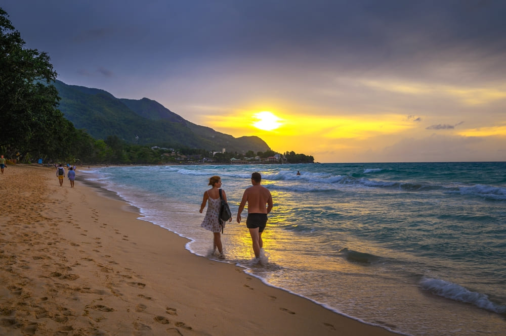
5. Why It’s Popular with Photographers and Honeymooners
The romantic atmosphere and picturesque scenery of Anse Intendance are highly praised by photographers and honeymoon couples alike. Especially at sunset, the contrast between the sky and sea, painted in shades of orange and pink, creates a breathtakingly beautiful scene—like a moment straight out of a movie.
Many couples choose this location for their photo weddings, creating everlasting memories.
summary
Anse Intendance is one of Seychelles’ most iconic beaches, where untouched nature, a rich ecosystem, captivating waves, and romantic scenery come together. For those seeking true relaxation away from the hustle and bustle of the city, surrounded by the tranquility of nature, it is the perfect destination.
By not only sightseeing but also staying with respect for the local nature and culture, you can truly experience the real charm of Anse Intendance. When visiting Seychelles, be sure to add it to your list of destinations.